The Nubia Museum reorients an Egypt journey around river geography, regional kingdoms, archaeological rescue, displacement and living communities. It should be a primary Aswan destination, not a spare hour before departure.
Begin with maps rather than masterpieces
Study how the Nile organizes movement, settlement and political connection. Compare maps from different galleries: where is the center, which direction is emphasized and how do boundaries change? A river-based map can reveal relationships hidden when Nubia appears only as the southern edge of another history.
Give regional kingdoms their own centers
Do not use Nubia only to explain interaction with dynastic Egypt. Objects can document local political authority, trade, burial and visual traditions. Comparison should allow exchange and difference at once. Similar forms need not imply a one-way influence or a peripheral copy.
Watch chronology overlap
Period labels help organize long histories but can produce hard breaks. Follow a material, place name or river route across gallery boundaries. Look for continuity through political change and for a familiar form taking on a different function. Regional history rarely fits a single dynasty-by-dynasty sequence.
Hold rescue and displacement together
The international campaign to save monuments is an important history of cooperation and archaeology. Large-scale development also displaced Nubian communities and transformed landscapes. Preservation achievement and human loss belong in the same museum map; neither cancels the other.
Distinguish routes into the collection
Ancient excavated objects, reconstructed environments and documentation of recent community life enter the museum through different processes. Read labels for findspot, excavation, maker, collector or donor. Archaeological authority should not make modern testimony seem secondary, while reconstruction should not be mistaken for a complete account of every household.
Use the exterior as another gallery
Landscaped areas extend questions about terrain, stone and water. Visit at a physically suitable time and confirm access. Compare how outdoor placement changes scale and surface after the controlled indoor sequence rather than treating the garden as decoration at the exit.
Keep living culture in time
Language, craft, music and house form continue to change. Avoid reading them as timeless survivals. Look for dates, modern voices and adaptation. The museum is most useful when archaeology and current community experience remain related without being collapsed into one category.
Ask who made each map
A map is an authored museum object. Check its title, date range, place names and political boundaries. Archaeological maps, modern administrative maps and maps of displaced settlements answer different questions. Comparing them prevents one diagram from becoming an apparently neutral picture of the region.
Connect fresco, building and movement
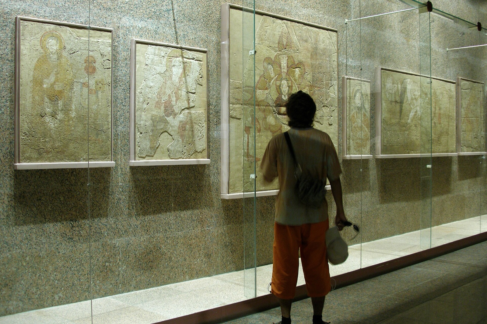
A painted fragment displayed flat and close can reveal pigment and line, but it once belonged to architecture and a sequence of viewing. Use any provenance and reconstruction to imagine wall position, neighboring imagery and audience. The fragment becomes a coordinate in a building rather than a detached picture.
Sources reviewed 28 July 2026: Nubia Museum ↗ · UNESCO Nubian Monuments ↗. Displays and visitor conditions may change.